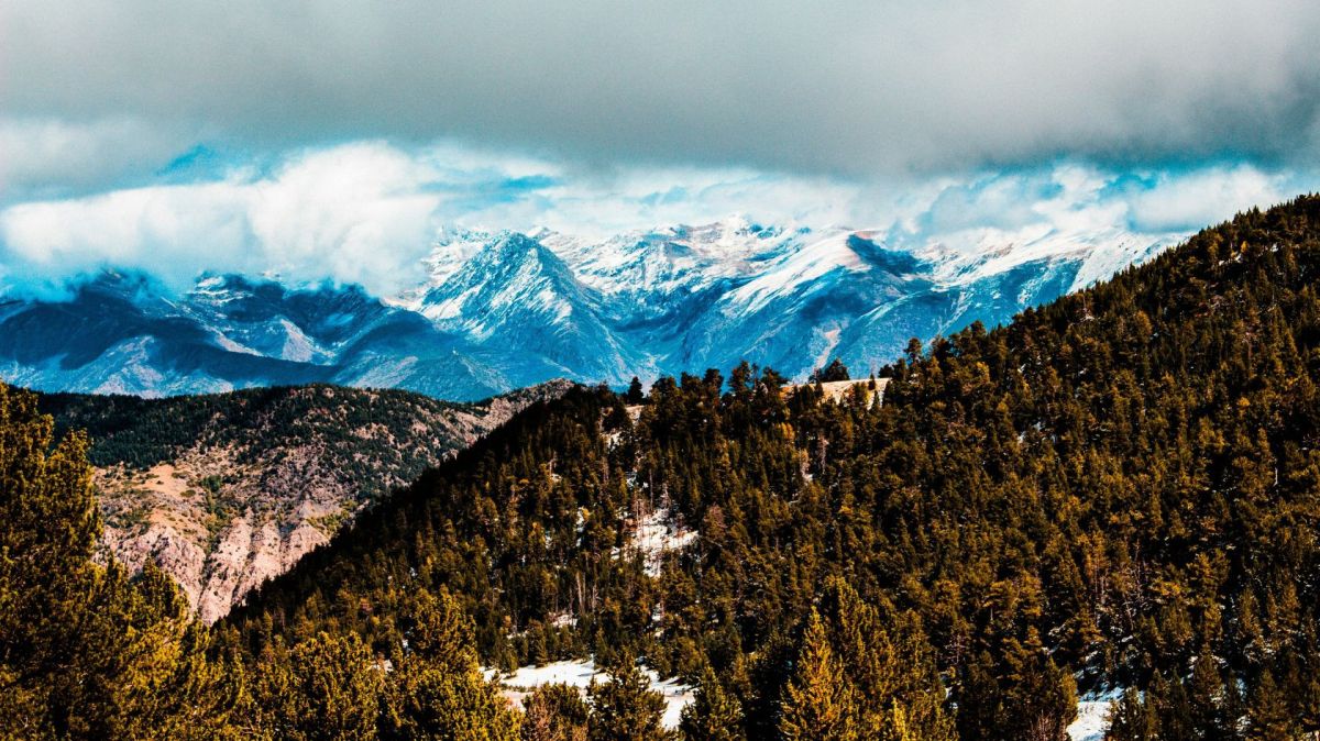
During these days, with a clearly autumnal atmosphere, a snow level of between 1,400/1,800 metres is expected in the Pyrenees and frost in some mountain ranges, before beginning to retreat on Saturday to give way to higher than normal temperatures, especially in the west of the Peninsula.
According to data from Aemet, on Friday, one of the coldest days, minimum temperatures will drop to 5-9ºC degrees in provincial capitals such as Ávila, Bilbao, Burgos, Cuenca, Huesca, León, Logroño, Palencia, Pamplona, Segovia, Soria, Teruel, Valladolid and Vitoria.
During the day, the weather will also be cool and only 7 capitals -Badajoz, Cáceres, Córdoba, Granada, Huelva, Jaén and Seville- will reach or exceed 30 degrees.
From Saturday, temperatures will remain below normal for mid-September in the eastern Cantabrian Sea, northeast, the coasts of the Valencian Community and the Balearic Islands, to continue to fall in the southern third of the peninsula and rise in the rest of the Peninsula and in the archipelagos.
Aemet predicts that the cold front will be felt on Wednesday in the far north and will cause "abundant cloudiness and precipitation that could occasionally be persistent", while the remains of the cold front could favor the development of showers in the far south, east and in the Balearic Islands.
During the first half of Thursday, there will be abundant cloud cover in the north of the peninsula, with precipitation that could be very abundant in the far north, although with a tendency to subside at the end of the day, and which could be snow at high altitudes in the Pyrenees.
The most notable thing about this day will be the drop in temperatures in a large part of the country, “being abnormally low for the time of year in a large part of the north and in the central regions”, and without changes in the extreme southeast and in the Canary Islands.
From Friday, showers could continue, generally weak, in the Cantabrian coast and in the Pyrenees, as well as in parts of the Balearic Islands and the southeast of the peninsula, although the trend for that day is a decrease in rainfall, with more stable weather and little cloud cover for the weekend.
Temperatures will drop that day in a large part of the country, being abnormally low in a large part of the northern half, including the minimum temperatures on Saturday, to rise progressively during the weekend.

