Friday, 21st February
Between Friday and Saturday, a front will cross the Peninsula, being heavy rain predicted and snowfall in the mountains of the northern half.
On Friday morning the front will be at the gates of the Peninsula, bringing the rain in the morning to Galicia, where southerly winds will be blowing. As the day progresses, the frontal system will cross the entire western half of the peninsula. The heaviest rainfall is expected in Galicia.
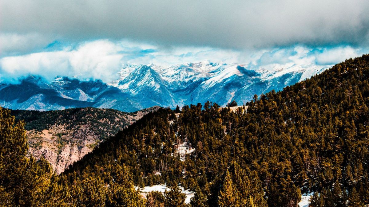
In the areas that the front passes through, rainfall will be generalised. Snow levels will drop from around 2,000 metres to 1,300 to 1,500 metres in the north-west of the peninsula, with snowfall forecast in the Pyrenees, the Cantabrian Mountains and Gredos. The front, apart from generating atmospheric instability, will cause temperatures to drop and winds to intensify.
Saturday, 22nd February
On Saturday the front will reach the Mediterranean, and large clearings may occur on the Peninsula, with raining happening mainly in mountain areas, where there will also be snowfall.
Rainfall will be almost generalised, with more substantial accumulations in the west of Galicia.
Temperatures will drop in most regions, both maximum and minimum, although they will rise again from Sunday onwards.


